Inside the app
A closer look.



About this app
Made for a clear purpose.
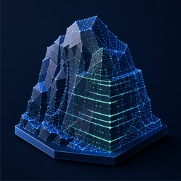
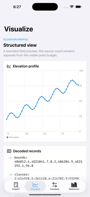
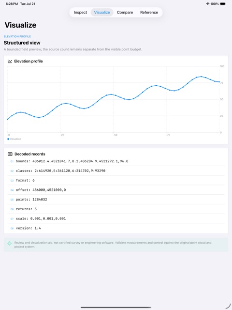
Pointcairn: LAS Field View is a focused, fully on-device app. An offline LAS point-cloud viewer for scan headers, classification, return statistics, elevation profiles, measurements, annotations, and fast Metal-rendered field review.
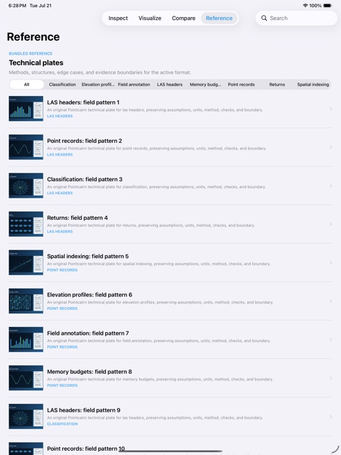
KEY FEATURES - Parse LAS 1.2-1.4 headers and common point records - Color by elevation, classification, intensity, or return - Measure distance, elevation delta, and profile grade - Drop local annotations and save named camera views - Stream decimated points into a Metal-backed preview - Complete bundled sample and local comparison workflow - Local PDF report and Apple system share export - Original offline technical reference library
ONE-TIME AND PRIVATE - One paid download; no subscription or in-app purchase - No account, advertising, analytics, tracking, or developer-operated backend - Core features and bundled content work offline - Work remains on device unless you deliberately share or export it through an Apple system interface
Review and visualization aid, not certified survey or engineering software. Validate measurements and control against the original point cloud and project system.